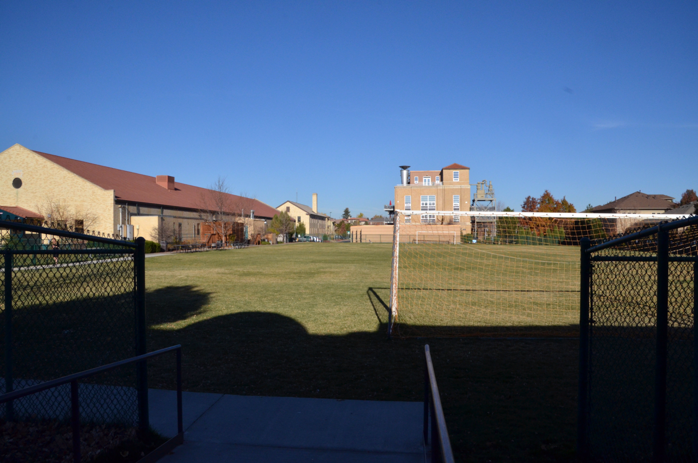
Building Index – Buildings 363 and 364
Buildings 363 and 364
Located between 1st Place and 4th Avenue,
Randall Street & Rosemary Court.
[GPS 39°43’21.81″N x 104°53’47.88″W]
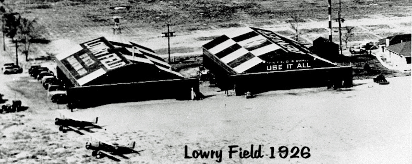
The first Lowry Field consisted of property taken over by the Colorado Air National Guard and dedicated in 1924, having its southern boundary located along 38 th Avenue between Dahlia and Holly Streets. The Airport Directory Company’s 1933 “Airports Directory” (courtesy of Chris Kennedy) described Lowry National Guard’s airfield as being located “4 miles northeast of the State Capitol Building.” The Union Pacific Railroad was said to have formed the Northern boundary of the Lowry Field, which consisted of 2,300 square feet of sod. Its southern hangar had the words “Denver, CO Lowry Field” painted on its roof.
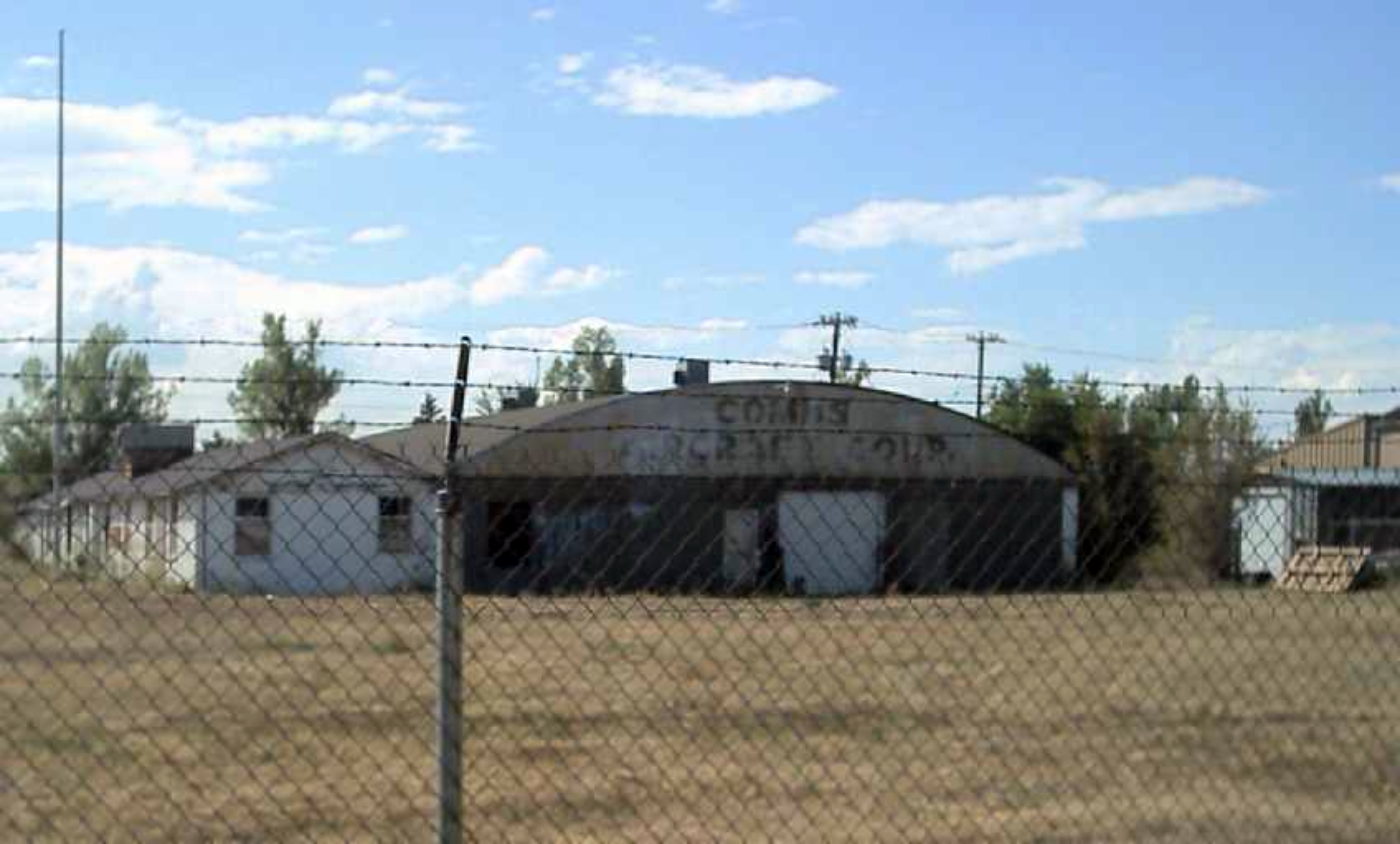
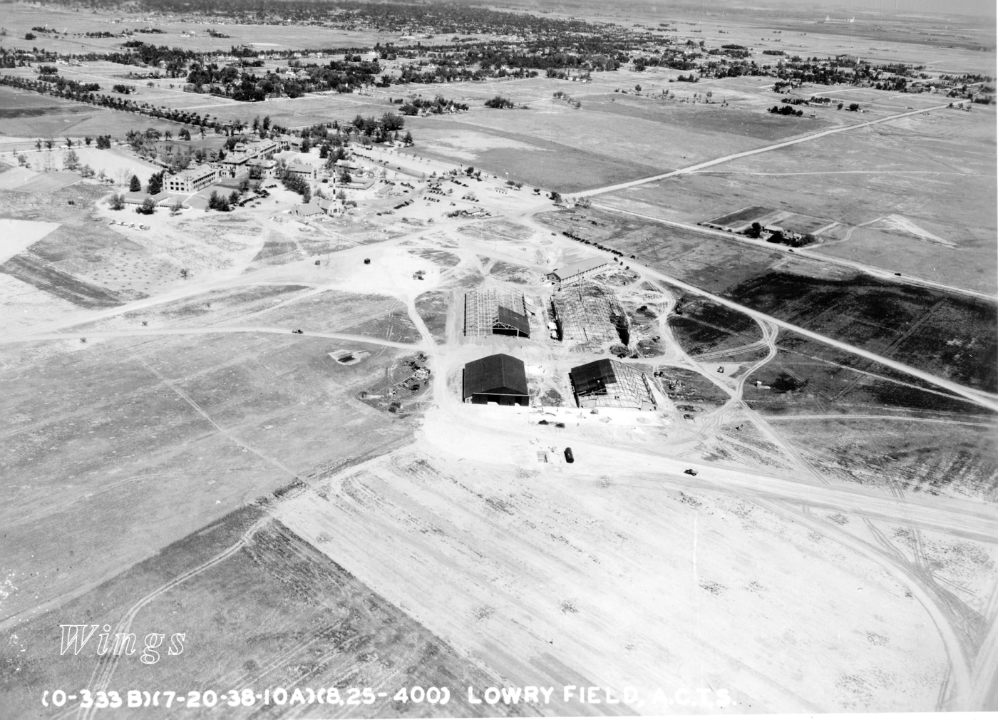
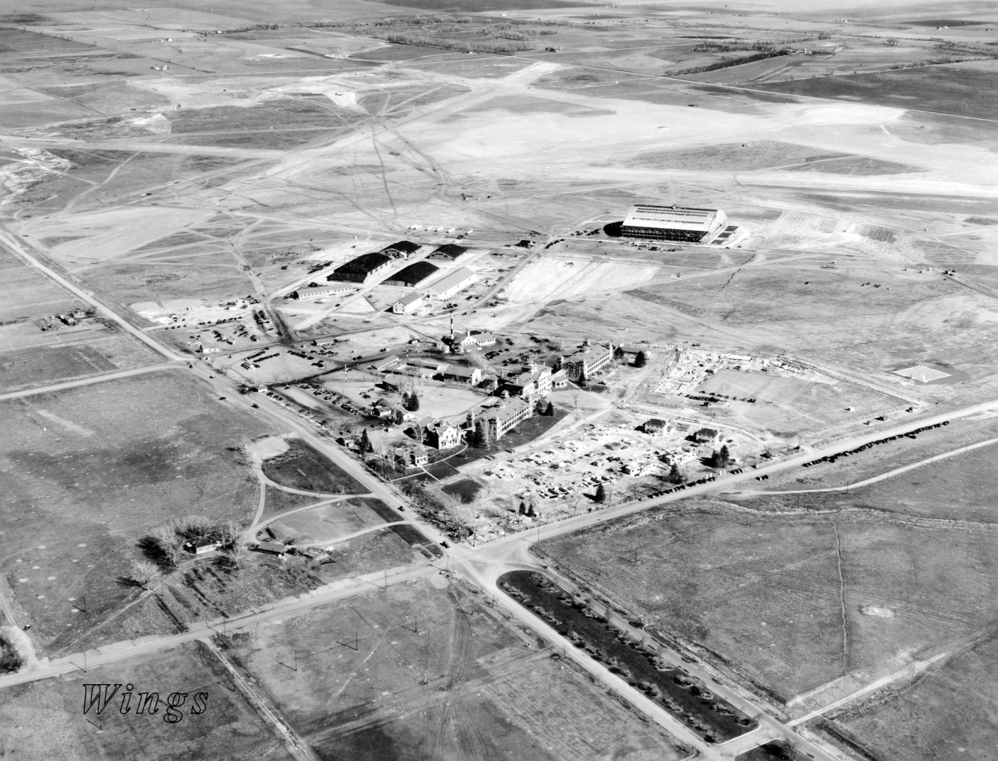
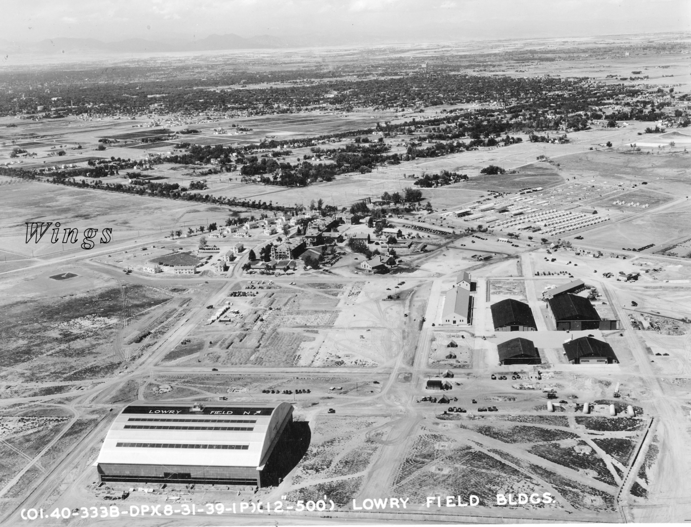
A new airfield was dedicated by the Army Air Corp in 1937 which was also assigned the name “Lowry Field.” This new facility was constructed on the site heretofore known as the Agnes Phipps Memorial Sanatorium, having its main entrance at 6 th Avenue and Quebec. The two “Lowry Fields” maintained simultaneous operations for another year until 1938 when the original Lowry Field at Dahlia & 38 th Streets was inactivated by the National Guard. The property was subsequently leased by the Combs Aircraft Corp.
The original Colorado National Guard’s “Lowry Field” continued as a civilian airfield, renamed “Combs Field.” Combs Field, from an AAF 1943-1945 circa photo, is seen to have had 3 unpaved sand runways along with a few small buildings along its west side, including two hangars.
In 1938 two hangars from the original Lowry Field at 38th & Dahlia were moved to their new location at the AAF’s Lowry Field located at 6th and Quebec. These buildings were numbered 363 and 366.
The Original Lowry Field 1924-1938
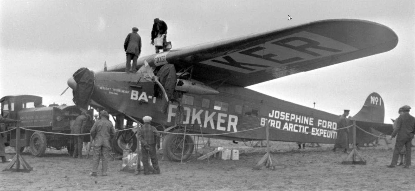
#2. 28 October 1926: The Josephine Ford Byrd Arctic Expedition’s Fokker BA-1 Triplane being refueled at original Lowry Field. [ Source ]
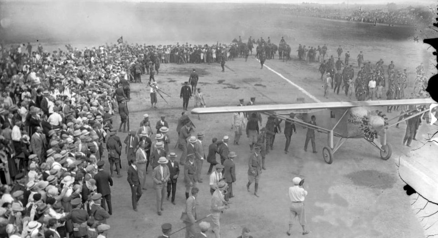
#3. A 31 August 1927 photo of Charles Lindbergh arriving in his Ryan-built “Spirit of St. Louis” aircraft at original Lowry Field. [ Source ]
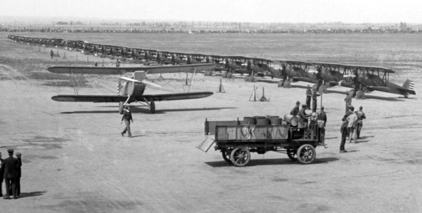
#4. Circa 1930’s: Photo of a Douglas O-2 from the Colorado National Guard’s 120th Aero Observation Squadron, shown in front of a row of Boeing P-12 fighters lined up for an air show at the original Lowry Field at Dahlia and 38th Avenue. [ Source ]
#5. 2005: An old Combs Aircraft Corporation hangar at original Lowry Field location. [ Frank Niehus ]
#6. By 1938 two of the original Lowry Field’s hangars had been moved to the new Lowry Field location at Denver’s 6th & Quebec Street location. This 2006 photo shows an aerial view looking west at the remains of Combs Aircraft Corporation’s facilities built on the 1938 deactivated Colorado National Guard’s Lowry Field property. [ Source ]
